One of our favourite walks is from the village, up to Tarn Hows by one of the various routes, around the tarn and back by another route. It is a varied walk with lots of fabulous views, no great height and not too strenuous, it usually takes about two and a half hours.
Thwaite Farm, just as you are leaving the village on the Hawkshead road.
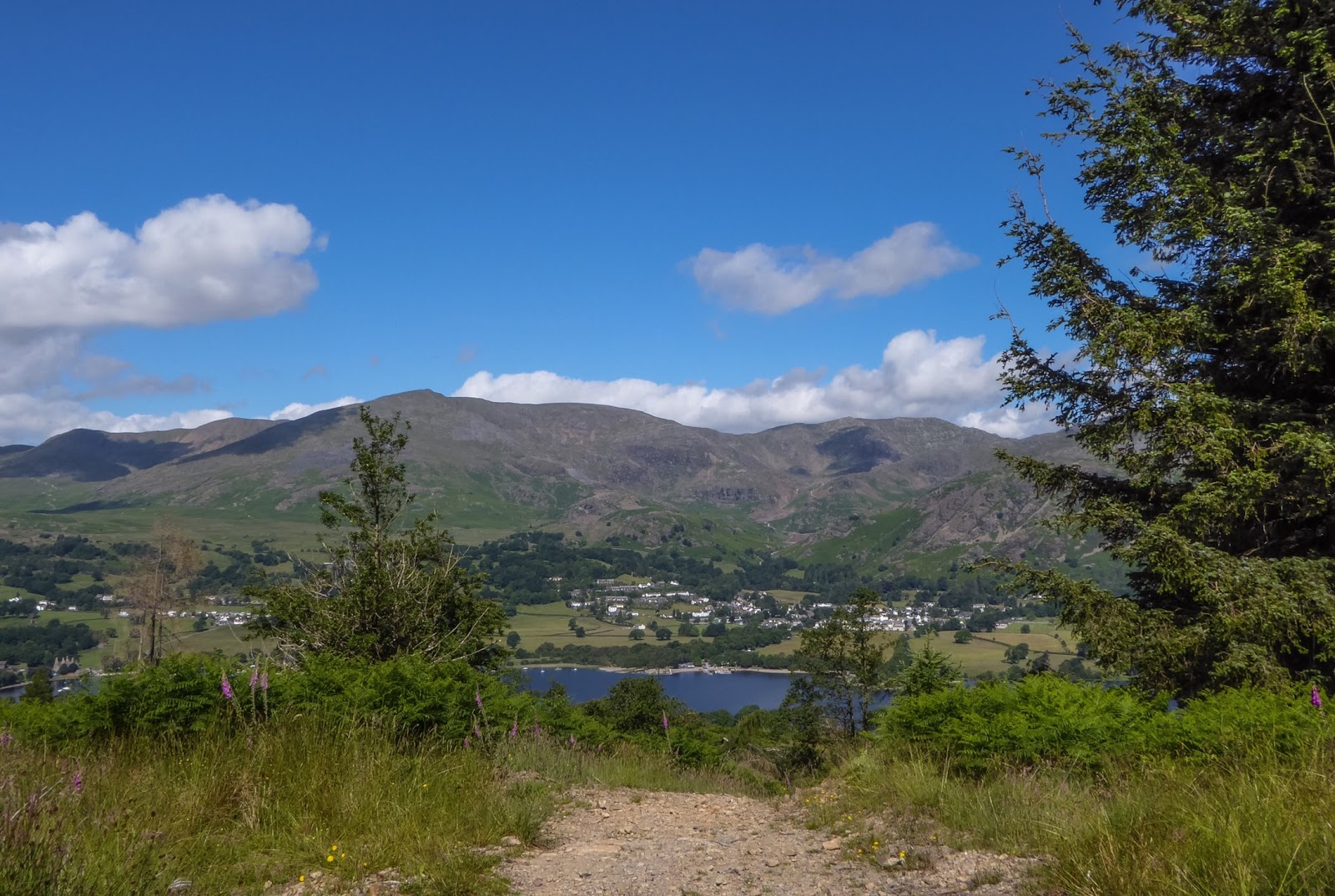
Enjoying the view on arrival at the tarn.
At this time of year the Yellow Flag Iris populates the damp margins on the edge of the tarn.
Another plant that loves the soggy margins is the Dactilorhyza Maculata or Heath spotted orchid. They are just starting to make an appearance and over the coming weeks will make quite a show as more and more of them come into flower.

It seems to be a good year for cotton grass. Another plant that likes wet ground or even bog, the cotton grass is carpeting the wet areas of the fells at the moment.
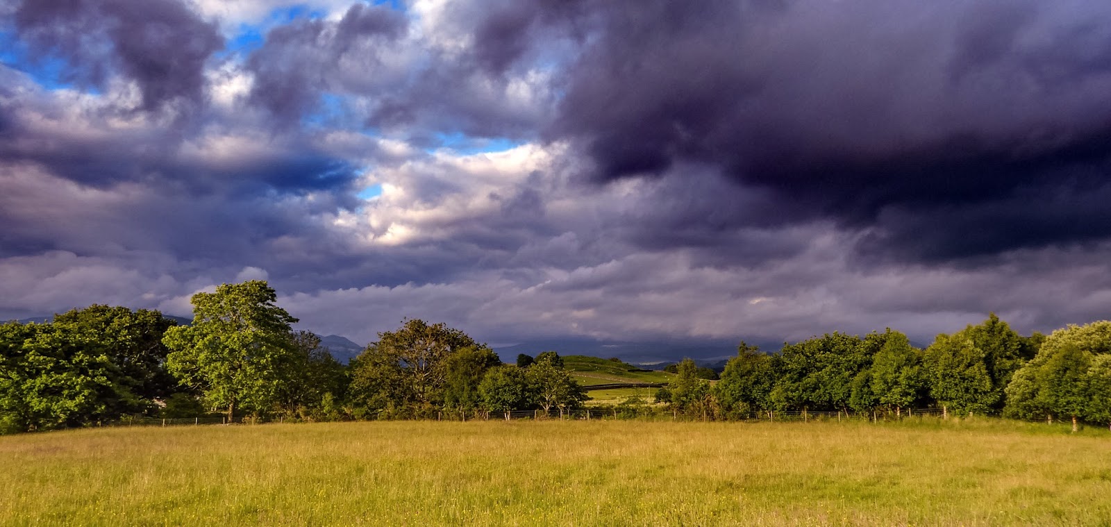
A couple of days later and we were heading over to Langdale to climb Harrison Stickle. It's a long time since we have done it because it gets very busy at weekends, but now that we have the time to go mid-week we decided it was time to revisit. an early start saw us leaving the car and heading up Stickle Ghyll at 8.30. The path has been paved since we were last here and I understand that it has to be done when erosion gets out of control, but there is something about it that makes the walking much less enjoyable. I haven't quite worked it out yet, but something about these paved paths makes them much more uncomfortable than they were in their natural state.
Irene, tackling the 'new' path that leads up to Stickle Tarn.
Looking down into the valley at Side House Farm, Langdale.
Looking across to Elterwater quarry.
The view back down into the Langdale Valley towards Lingmoor, with Windermere in the distance.
A view of the Coniston Fells from Langdale. Looking over Blake Rigg (in sunshine) to (L to R) Wetherlam, The Old Man summit and Great How.
Stickle Tarn and Pavey Ark.as we approached the tarn, the skies darkened, the temperature dropped and it started to drizzle. Decision time. Do we press on up Harrison Stickle, or do we turn back? Well we knew that we could complete the walk, but we have always believed in the importance of enjoying our walking and not in the importance of completing a walk regardless of conditions. So we made the decision to turn back and continue the enjoyment of the walk. Many would have continued and good luck to them, but we preferred the comfort of staying warm and dry, after all, we can come and do the full walk anytime we like.

I've Beverly seen myself as someone who lives in their own little bubble, but this morning, I looked into a mountain stream and there I was! ..................................................................................................................................................................
The next day and we stayed in our 'home' valley of Coniston and walked up the Coppermines Valley and on up to Levers Water. Then through Boulder Valley, past Pudding Stone and onto the Old Man road, returning to the village via Mill Dam.
Levers Water is the water supply for Coniston and the surrounding area and was about six feet below full, but with the rain we have had since, I doubt there is any need to panic. At 123 feet deep, there is a good volume of water to go at. What was more concerning was finding used, disposable nappies and bits of toilet tissue below the high water mark!
Looking back from Levers Water, down towards a very calm lake and Brantwood.